Survey protocols and data standards to inform the impact assessment of renewables projects
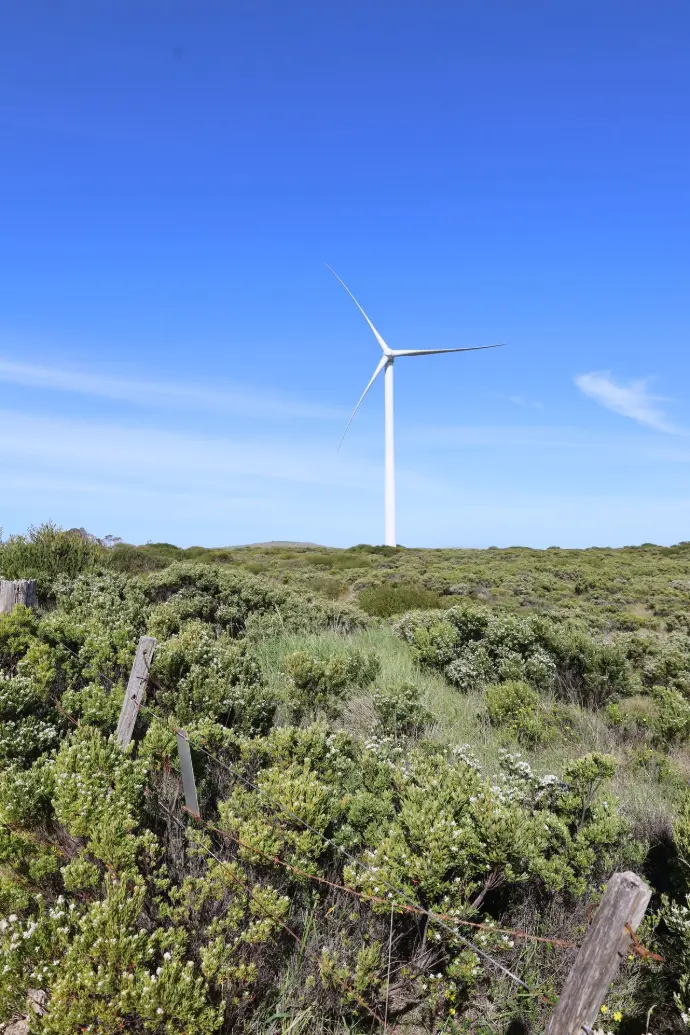
TERN is developing ecological survey protocols and improving data collection for Australia's growing renewable energy sector.

The challenge
Ecological data collected to assess and monitor actions under the Environment Protection and Biodiversity Conservation Act 1999 (EPBC Act) is often inconsistent in quality, scope and methodology. In some cases, survey data does not meet regulatory expectations or is not readily comparable across projects or regions. This can create challenges for assessment, decision‑making and conservation outcomes, including:
- extended assessment timeframes due to requests for additional information
- increased potential for disputes between regulators and proponents
- precautionary decisions driven by limited or uneven survey effort
- difficulty integrating incompatible datasets to assess population trends
- reduced confidence in consistent, evidence‑based decisions
The project
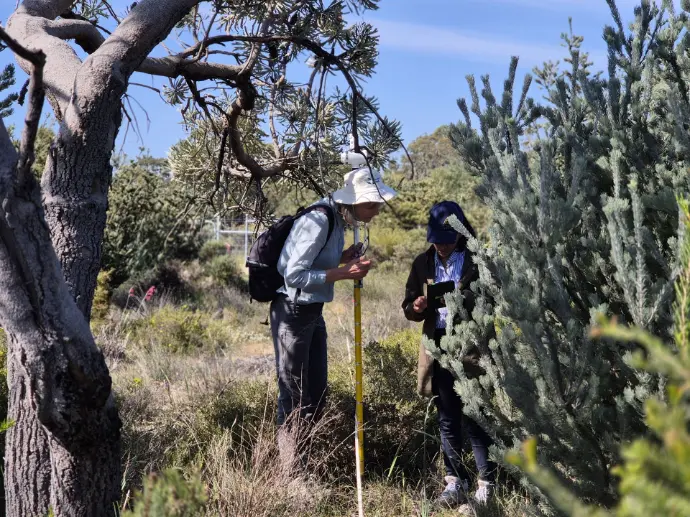
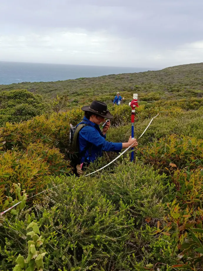
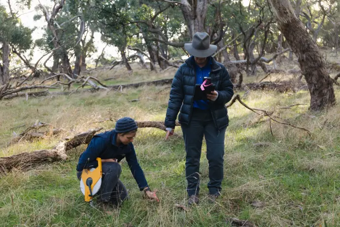
To address these challenges, the Terrestrial Ecosystem Research Network (TERN), supported by the Department of Climate Change, Energy, the Environment and Water (DCCEEW) through the Renewables Environmental Research Initiative (RERI), is delivering nationally consistent guidance for ecological survey design, field survey protocols and data collection processes for more than 200 priority species.
The project builds on the Ecological Monitoring System Australia (EMSA), expanding and adapting its protocols for use in environmental impact assessment and post‑construction monitoring. EMSA was developed by TERN in collaboration with DCCEEW and provides a nationally consistent framework that supports transparency, repeatability and data quality.
Outcomes and benefits
The project will deliver evidence‑based guidance to support best‑practice assessment and monitoring of threatened species under the EPBC Act. It will enable proponents to collect ecological data that meets regulatory expectations, supporting more efficient assessments and clearer, timelier decisions.
The project will also deliver standardised data capture and delivery systems, enabling ecological data from impact assessments and monitoring programs to flow into Australia’s Biodiversity Data Repository (BDR). This will strengthen national biodiversity information, support long‑term monitoring and reporting, and improve the evidence base for environmental decision‑making.
Latest updates
Draft modules in development - expert review stage
New EMSA protocols to support environmental impact assessment, initially focused on onshore renewable energy projects, are currently in the expert review phase. Ecologists, environmental practitioners and species experts are invited to contact us to request access to the draft review documents listed below.
The Habitat Quality Assessment and Mapping Module systematically assesses and maps the condition, extent and relative quality of habitats across a project area. It produces spatially explicit habitat quality classifications and associated attribute data that support the interpretation of fauna survey results. The module provides essential contextual information for understanding species distribution, site use and potential impact pathways. Outputs are commonly used in EIAs to support impact assessment, mitigation design and justification of survey effort.
The Post‑construction Fatality Monitoring module records bird and bat mortalities associated with operational infrastructure. It produces quantified mortality counts and rates that enable evaluation of actual project impacts. The module supports compliance monitoring, validation of impact predictions and adaptive management. Outputs are central to regulator reporting requirements for operational projects.
The Raptor Nest Monitoring Module locates and monitors raptor nests to assess occupancy and breeding activity. It produces spatial data on nest locations and temporal data on activity status. This information is critical for evaluating collision risk, defining buffers and informing turbine or infrastructure layout. The module is routinely applied in wind farm EIAs.
The Acoustic and Ultrasonic Surveys Module is used to survey bats, birds and frogs by passively recording animal vocalisations with detectors. It captures acoustic call data that can be analysed to determine species occurrence, relative activity levels, and patterns of site use. The module is commonly applied where collision risk assessment is required, such as in wind energy and other infrastructure projects. Typical outputs include call recordings and derived activity indices.
The Camera Trapping Module passively records fauna presence and activity using motion‑triggered cameras. It produces image data and detection rates for medium‑to‑large mammals, birds and reptiles. The module supports assessments of occurrence, relative abundance and site use. It is particularly valuable for ground‑dwelling fauna in EIA settings.
The Camera Trapping Module for EIA Projects, has been reworked from the original Camera Trapping Module (designed for NRM projects).
The Bird Surveys Module systematically records bird species occurrence, abundance and activity through active observation methods. It generates species records, counts and behavioural data that inform assessments of site use, habitat value and collision risk. The module is especially important in wind energy and infrastructure EIAs where birds are key receptors. Data outputs support both baseline characterisation and impact risk assessment.
The Vertebrate Fauna Trapping Module uses standardised live‑trapping techniques to detect cryptic terrestrial vertebrates, including small to medium mammals, arboreal mammals and reptiles. It produces detailed capture data such as species identity, counts and capture metadata, supporting assessments of presence, abundance and population structure. The module is commonly applied in threatened species surveys and impact assessments. It also provides the foundation data for downstream processing modules such as Identify, Mark and Measure.
The Bat Trapping Module captures bats using harp traps or mist nets to confirm species identity and collect demographic information. It produces verified species records, capture counts and associated metadata that complement acoustic survey data. This module is particularly important for targeted threatened bat surveys where acoustic identification is uncertain. Outputs strengthen the defensibility of EIA conclusions regarding species presence and risk.
The Identify, Mark and Measure Module records biological and demographic data from captured vertebrate fauna. It produces standardised data on morphometrics, sex, age class, condition and individual marks, enabling demographic and condition assessments. This module does not operate independently but supports trapping‑based survey techniques (including the Vertebrate Fauna Module, Bat Trapping Module, Aquatic Herpetofauna Module, and hand captures made through the Opportune Module). Outputs are critical for compliance, population assessments and repeat‑survey comparability.
The Aquatic Herpetofauna Surveys Module collects field observations of aquatic reptiles and larval frogs within aquatic and riparian habitats. It generates georeferenced species presence records that inform assessments of habitat use and potential project impacts. The module supports evaluations of water‑dependent fauna values in EIA contexts, particularly where wetland or drainage features may be affected. Outputs contribute to impact assessment and habitat management planning.
The Artificial Refuge Surveys Module uses deliberately placed artificial cover objects to detect cryptic, shelter‑using fauna such as reptiles, amphibians and small mammals. It produces standardised presence and site‑use data based on repeated inspections of refuges over time. The module improves detectability for species that are rarely observed during active searches or trapping. Outputs are commonly used in EIAs to support baseline assessments, threatened species investigations and impact risk evaluation.
The Fauna Ground Counts Module records direct observations of fauna through standardised counts. It produces data on species presence, abundance, locations and activity. This module supports assessments of habitat use and collision risk, particularly for birds and large terrestrial fauna. Outputs are commonly applied in impact assessment contexts.
The Fauna Ground Counts Module for EIA Projects, has been reworked from the original Fauna Ground Counts Module (designed for NRM projects).
The Fauna Area Search Module involves systematic, active searches for vertebrate fauna observations within defined areas. It produces georeferenced observation records that support assessments of occurrence and site use. This module provides broad contextual data and is often used alongside trapping or targeted surveys. It is well suited to rapid fauna inventories for EIAs.
The Searches Using Conservation Detection Dog Teams Module uses trained conservation detection dogs to locate cryptic fauna or their sign with high detection efficiency. It produces confirmed detection records that support presence or relative abundance assessments. The module is particularly valuable where traditional survey methods have low detectability. It is frequently applied in post‑construction fatality monitoring and targeted EIA investigations.
The Sign‑based Fauna Surveys Module records indirect evidence of fauna presence, such as tracks, scats, burrows and other sign. It produces presence and site‑use records for mammals and reptiles. The module is well suited to rapid baseline surveys and broad reconnaissance. Outputs complement active detection methods in EIA survey designs.
The Sign-based Fauna Surveys Module for EIA Projects, has been reworked from the original Fauna Ground Counts Module (designed for NRM projects).
Environmental DNA (eDNA) sampling involves the collection of genetic material from water, soil or air using specialised filtration and preservation techniques. This non-invasive approach enables species and community detection without direct observation. Common methods include syringe or pump filtration for water, surface swabbing, and sediment collection, followed by laboratory analysis such as DNA barcoding to identify organisms. Protocols emphasise contamination prevention and effective recovery of DNA from rare or cryptic species. The module includes protocols for syringe filtration, passive filtration, water sample collection, soil and sediment collection, and scat collection.
The Opportune Module captures incidental fauna observations recorded outside formal survey effort. It produces supplementary occurrence records across all taxa. While not suitable as a primary survey method, it strengthens the overall evidence base supporting EIA conclusions. Outputs provide contextual information that complements structured survey data.
The Opportune Module for EIA Projects, has been reworked from the original Opportune Module (designed for NRM projects).
Project objective
Develop standardised ecological survey protocols and data collection processes to enable more efficient assessments and better decisions.
Project deliverables
- survey protocols for groups of priority species
- species‑specific survey protocols where specialised methods are required
- monitoring protocols, including for offset sites
- post‑construction fatality monitoring protocols
- standardised data collection processes across all protocols
Survey protocols
Monitoring and post‑construction protocols
Expected project outcomes
Ultimately, the project will enable faster assessments and greater certainty in decisions. It will do this by:
- setting clear and consistent expectations
- improving understanding of species through better and consistent data collection
- improving access, storage and re-use of ecological data by facilitating integration into the BDR.

Downloads
To assist others, including other RERI project partners, develop ecological survey protocols similar to the EMSA modules, TERN have developed a Template and Guidelines for Developing Survey Protocols: Creating monitoring standards compatible with the Ecological Monitoring System Australia (EMSA). The intended audience of this document are ecologists, environmental practitioners, and experts charged with documenting ecological field methodologies in a standardised, repeatable, and scientifically robust format. Please contact us if you would like further assistance.
This document should be read in conjunction with the Survey Guidelines for Monitoring Threatened Species: Towards monitoring standards compatible with the Ecological Monitoring System Australia.
Download a copy of the project flyer
Key consultation periods
TERN welcomes feedback and input.
An Introductory Webinar was held on Thursday 4th December with key invited stakeholders. A recording of the webinar can be viewed here.
Engagement and consultation activities scheduled, include:
- Please register your interest in future webinars via the form below.
Draft documents will be available on this website for review and feedback, including the draft module and protocol documents.
Upcoming opportunities, including formal consultation on draft protocols, will be listed on this website once scheduled. Please email our team or use the form below to connect with TERN directly.
Register to be updated on project developments and engagement opportunities