TERN Ecosystem Monitoring Training
Pre-training materials

Look through the Module Manuals
The TERN Ecosystem Monitoring Training will cover some of the EMSA Field Monitoring protocols including: Plot Selection and Layout, Floristics, Plant Tissue Vouchering, Cover, Plot Description, Photopoints, Basal Area and Soils.
To get the most out of your training we encourage you to familiarise yourself with these modules before attending the training.
Useful Terminology
We will continue to update this list as the training approaches so please come back and familiarise yourself with some of the TERN monitoring terms as you read through the training materials.
TERN Plots Terminology
|
Basal area |
The average amount of area occupied by tree stems within a defined area. It is quantified by measuring the cross-sectional area of all trees (>2m tall), over the bark, at breast height (1.3 m above ground level) and values are expressed per hectare (m2/ha). Convertible to standing biomass using allometric equations. |
|
Collection |
A completed survey’s data for a single protocol collected in Monitor |
|
Ecological field monitoring protocols manual |
A comprehensive manual comprising of detailed EMSA Modules that include step by step instructions and procedures for conducting monitoring surveys, detailed rational for the methodologies, equipment lists and more. |
|
EMSA |
Ecological Monitoring System Australia – A set of nationally standardised survey modules and data systems aimed at improving the collection, management and storage of ecological field data. |
|
Foliage projective cover |
The percentage of ground area occupied by the vertical projection of foliage only (excludes canopy gaps i.e. in canopy sky) |
|
In canopy sky |
Recorded when the vertical line of sight through the densitometer does not intercept any part of a tree’s canopy (foliage and branches) but is enclosed within the boundary of the tree’s canopy. Allows point-intercept data to be expressed as foliage projective cover and opaque canopy cover. |
|
In-progress data |
Data being entered into the Monitor app for a single protocol. The survey has not yet been completed, and the data can still be edited. |
|
Module |
A section of the Ecological Field Monitoring Protocols Manual describing specific methods to accurately measure environmental change for a specific variable/s in the Australian environment. |
|
Monitor |
The EMSA field data collection app, a progressive web app (PWA). Monitor is intended to be used in the field for live data collection. |
|
NVIS |
National Vegetation Information System |
|
Opaque canopy cover |
The percentage of ground area occupied by the vertical projection of the entire canopy as defined by a boundary around the outermost foliage (includes canopy gaps i.e. in canopy sky) |
|
Plant specimen voucher |
A pressed and dried specimen of an individual plant, containing aboveground structures ((leaves, stems, bark, flowers, fruits, seeds) and belowground structures (roots, rhizomes) when possible. |
|
Plot |
A specified 100 x 100 m area where data is collected. Plots are generally established in locations that are homogenous areas representative of the stratified sampling units (or zones), with consistent vegetation, slope, relief and soil. |
|
Point-intercept |
A method designed to sample species, growth form, strata or substrate cover by placing a point intercept device (e.g. a pole) along a transect at regular intervals and determining the points that intercept vegetation or substrate. Percent cover is calculated as the number of hits divided by the total number of point intercepts multiplied by 100. |
|
Protocol |
The method used for monitoring and data collection. There may be one or several protocols described for a Module. |
|
PWA |
Progressive Web App - a web application that can be installed on a mobile device (tablet or phone) and performs like an App but has greater offline capability. |
|
Queued collection |
A survey collection that has been completed in Monitor and is stored on the device locally but has not yet been ‘synced with the cloud’. Once synced, the data is stored in the cloud storage database . The data in a ‘queued collection’ is complete and cannot be edited. |
|
Survey |
The act of collecting data, following steps outlined in one of the EMSA protocols. |
|
Synced collection |
A survey collection that has been completed on Monitor and ‘synced with the cloud’ so that it is now appearing in the cloud storage database. The data from a synced dataset collection is no longer stored in local storage on your device. This data is complete and cannot be edited. |
|
TERN |
Terrestrial Ecosystem Research Network – Australia’s national land ecosystem observatory. TERN provides open access standardised ecological data collected from 1000+ monitoring plots across Australia. |
|
TERN Plot |
|
|
Transect |
|
|
Voucher |
A preserved specimen of an expertly identified taxon deposited in a permanent and accessible storage facility that may later be obtained for examination and further study. |
Calibration Validation Terminology
|
Calibration |
The process of quantitatively defining the system response to known controlled signal inputs. |
|
Cal/Val |
Calibration Validation - Verifying that the suite of processing algorithms used to convert raw data into geophysical or biophysical quantities is self-consistent. |
Post-Training Resources
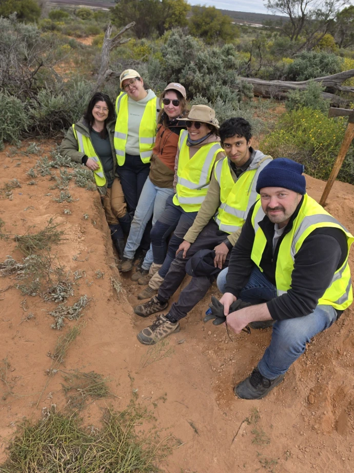
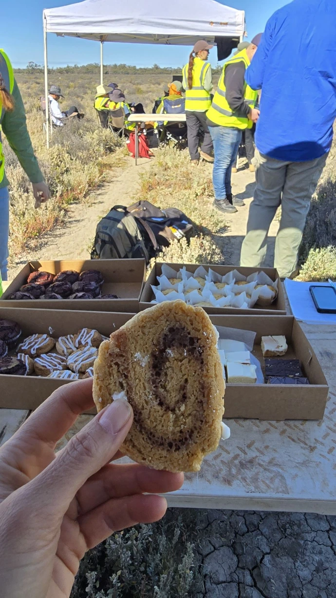
Thank you to everyone who participated in the training held at Calperum Station, Riverland, South Australia in August 2026! The week brought together participants from across Australia and the globe for a hands-on learning experience focused on ecological monitoring and field-based data collection. From early mornings in the field to discussions around best-practice monitoring techniques, the training provided valuable opportunities to build skills, share experiences and strengthen our monitoring community. We hope everyone left feeling inspired, confident and ready to apply their new knowledge in the field.
Presentation Slides
Please feel free to download the PowerPoint Slides from the theory days.
Ecological Methods Training Session 1
Ecological Methods Training Session 2
Ecological Methods Training Session 3
Ecological Methods Training Session 4
Cal/Val Training Session 1 - part 1
Cal/Val Training Session 1 - part 2
Cal/Val Training Session 1 - part 3
Cal/Val Training Session 1 - part 4
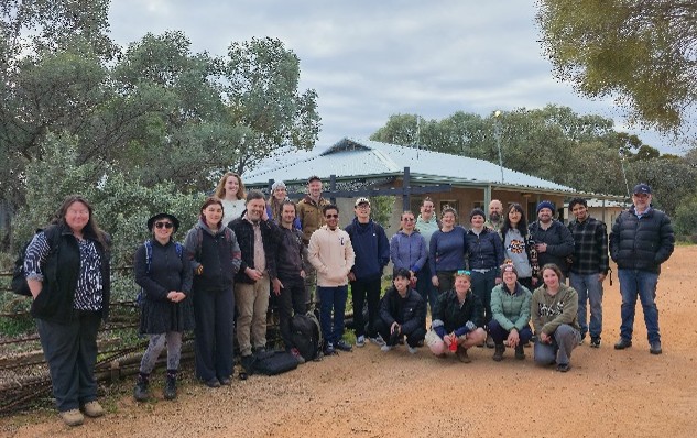
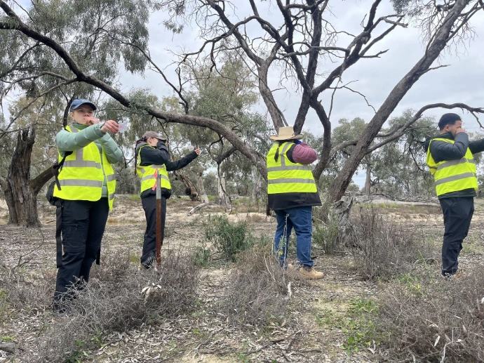
Training Photos
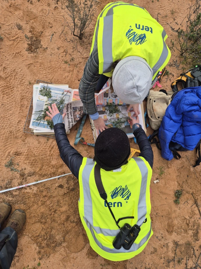
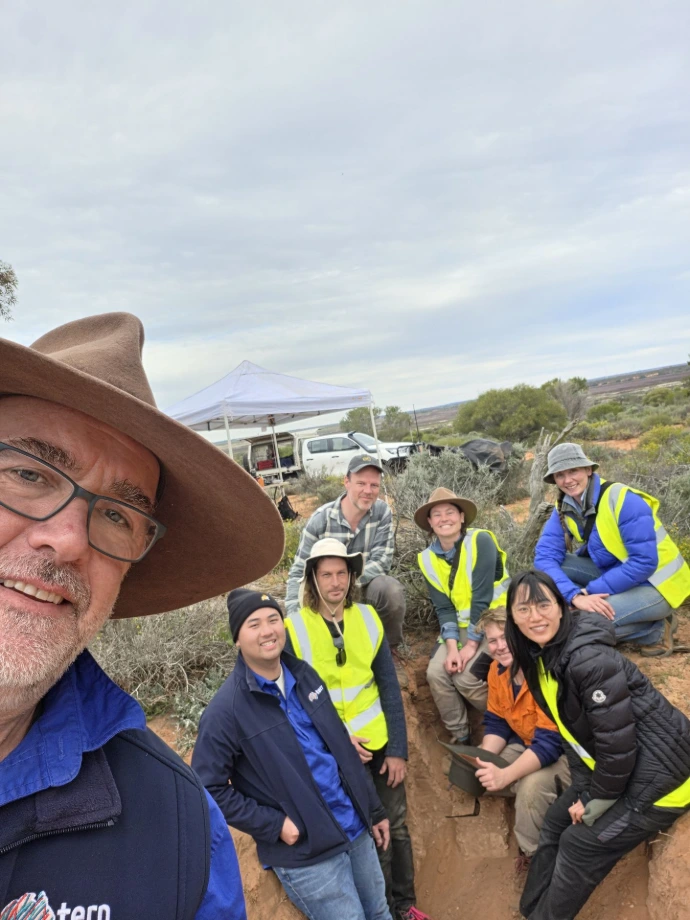
Photos taken at the training are available for you to share with your team, in newsletters, or professional development reports. A selection of photos are available for you via the Calperum Training 2026 Gallery, please let us know if you require something specific (we literally have hundreds). If you took any photos and would be happy for us to share them, please email them to us at tern@adelaide.edu.au
Certificates
Training certificates have been emailed to you directly. If you have not received your certificates, please contact us.
Highlighting your newfound skills
If you use LinkedIn, please feel free to update your personal profile and highlight that you have completed the course(s). We suggest listing a new 'education' and including 'Terrestrial Ecosystsem Research Network' in the School, and 'TERN Ecosystem Monitoring Training - Ecology Field Methods and Protocols' and/or 'Remote Sensing Calibration and Validate' for the Degree. For the description, please use something like/similar to 'Training in ecological field monitoring using the Ecological Monitoring System of Australia (EMSA). Covered plot establishment, vegetation and habitat assessment, soils, specimen collection, photopoints, and digital field data collection using standardised monitoring protocols'. You could also add the following skills: 'Ecological survey implementation using standardised EMSA methodologies', 'Standardised biodiversity monitoring using EMSA field protocols', 'Applied ecological field sampling and environmental data collection', 'Digital collection of ecological field data using mobile field applications', 'Implementation of core EMSA field survey and ecological monitoring methods' as examples. Please also feel free to ask us (i.e. Sally O'Neill) to endorse/recommend you, and reach out if you'd like some help.
What's next?
Keep up to date with TERN news by signing up for the TERN Newsletter and TERN social media.
TERN resources
EMSA (Ecological Monitoring System Australia) Modules. https://emsa.tern.org.au/documents.
EMSA is a collaboration between TERN and the Australian Government - a set of nationally standardised survey modules and data systems aimed at improving the collection, management and storage of ecological field data.
TERN Ecoplots https://ecoplots.tern.org.au/
TERN EcoPlots is a platform designed for searching, discovering, and accessing ecological observations - both from systematic site-based surveys and opportunistic surveys - as well as specimen samples collected during field surveys from various data sources.
TERN Vascular Plant Collection Guidelines
Please stay in touch!
We'd love to stay connected after the training. If you have any follow-up questions, would like clarification on any of the concepts covered, or need support as you begin applying what you've learned, please don't hesitate to get in touch.
We're also keen to hear how you're using these skills in practice. Whether you've implemented a new monitoring approach, improved your practices, applied Cal/Val methods in a project, or simply have a success story to share, we'd love to hear about it. We can also keep you informed about future training opportunities, workshops, field activities, and other ways to engage with TERN Ecosystem Surveillance.
Learning doesn't stop when the course ends, and we look forward to continuing the conversation with you.
Other resources
Book recommendations
Ben mentioned this book at the Cal/Val training - Assessing the Accuracy of Remotely Sensed Data, by Russell Congalton and Kass Green. It's available online from various sources, including Routledge.
Yellow Book (Australian Soil and Land Survey Field Handbook) https://www.publishing.csiro.au/book/8129
Review the pre-training material

Best-practice workflow
Watch the video to familiarise yourself with the best-practice use of Monitor. This is particularly important when working in the field with limited access to internet. Some key things to remember:
- Only sync if you have a stable internet connection
- Try to sync at the end of each day to avoid a backlog of syncing
- Before using your device in the field, make sure you 'prepare for offline collections'
- Check your data summary BEFORE queuing the collection, changes cannot be made after queuing
- Always practice using a module on Monitor Staging before using Monitor Production

Caching Map Tiles
Many image tiles are required to create each layer of a map. Together these can take up a considerable amount of space on your device, an may slow the app down. Therefore map tiles are not stored in Monitor and we recommend loading the necessary tiles for your area, prior to going into the field. Watch the video for more information.
Look through the Module Manuals
All EMSA on-ground trainings will include the Plot Selection, Floristics, Cover and Photopoints modules. To get the most out of your training we encourage you to familiarise yourself with these modules before attendings.

Read the 'Using the Monitor App Manual'
Download and become familiar with the using the Monitor App manual. The document includes information about installing the app, printing voucher barcodes, connecting a GNSS device and important workflow tips
Useful EMSA Terminology
EMSA - Ecological Monitoring System Australia
Project - Project name appearing MERIT and funded under the Australian Government – Natural Resource Management (NRM) program.
Project area/ Project extent area - The overall area studied as part of a MERIT project, all the plots in the project must fall within the project area. This area may consist of a single parcel of land or multiple parcels. The Project (Extent) Area cannot be entered or uploaded as multiple areas and should encompass all parcels of land relevant to your project. We suggest this area covers the entire area of your NRM region.
Plot - A specified 100 x 100 m area where data is collected Plots are generally established in locations that are homogenous areas representative of the stratified sampling units (or zones), with consistent vegetation, slope, relief and soil.
Fauna plot - A paired 100 x 100 m plot adjacent to core monitoring plot, where the vertebrate and invertebrate surveys take place
Module - Section of the Ecological Field Monitoring Protocols Manual describing specific methods to accurately measure environmental change for a specific variable/s in the Australian environment.
Protocol - The method used for monitoring and data collection. There may be one or several protocols described for a Module.
On plot - A monitoring protocol that occurs within a plot
Off plot - A monitoring protocol that does not occur within a monitoring plot
Dataset Collection - Completed data collection for a single protocol in Monitor or MERIT
Survey - The act of collecting data, following steps outlined in one of the EMSA protocols.
Monitor - EMSA data collection PWA. Monitor is intended to be used in the field for live data collection.
PWA - Progressive Web App. A web application that can be installed on a mobile device (tablet or phone) and performs like an App but has greater offline capability.
In-progress data - Data being entered into the Monitor app for a single protocol. The protocol has not yet been completed and can still be edited.
Queued dataset collection - A survey’s dataset collection that has been completed in Monitor but not yet ‘synced with the cloud’ so that it will appear in MERIT and in the BDR. The data in a queued dataset collection is complete and cannot be edited.
Synced dataset collection - A survey’s dataset collection that has been completed on Monitor and ‘synced with the cloud’ so that it is now appearing in MERIT and is on it’s way to the BDR. The data from a synced dataset collection is no longer on your device and is stored in a database before being sent to the BDR. This data is complete and cannot be edited.
Data Dump - A snapshot of the data stored in Monitor on your device. The EMSA Help Desk may send you instructions for sending a data dump to them if you’re stuck and they need to troubleshoot.
Review the pre-training material
Best-practice workflow
Watch the video to familiarise yourself with the best-practice use of Monitor. This is particularly important when working in the field with limited access to internet. Some key things to remember:
- Only sync if you have a stable internet connection
- Try to sync at the end of each day to avoid a backlog of syncing
- Before using your device in the field, make sure you 'prepare for offline collections'
- Check your data summary BEFORE queuing the collection, changes cannot be made after queuing
- Always practice using a module on Monitor Staging before using Monitor Production
Caching Map Tiles
Many image tiles are required to create each layer of a map. Together these can take up a considerable amount of space on your device, an may slow the app down. Therefore map tiles are not stored in Monitor and we recommend loading the necessary tiles for your area, prior to going into the field. Watch the video for more information.
Look through the Module Manuals
All EMSA on-ground trainings will include the Plot Selection, Floristics, Cover and Photopoints modules. To get the most out of your training we encourage you to familiarise yourself with these modules before attendings.
Read the 'Using the Monitor App Manual'
Download and become familiar with the using the Monitor App manual. The document includes information about installing the app, printing voucher barcodes, connecting a GNSS device and important workflow tips
Useful EMSA Terminology
EMSA - Ecological Monitoring System Australia
Project - Project name appearing MERIT and funded under the Australian Government – Natural Resource Management (NRM) program.
Project area/ Project extent area - The overall area studied as part of a MERIT project, all the plots in the project must fall within the project area. This area may consist of a single parcel of land or multiple parcels. The Project (Extent) Area cannot be entered or uploaded as multiple areas and should encompass all parcels of land relevant to your project. We suggest this area covers the entire area of your NRM region.
Plot - A specified 100 x 100 m area where data is collected Plots are generally established in locations that are homogenous areas representative of the stratified sampling units (or zones), with consistent vegetation, slope, relief and soil.
Fauna plot - A paired 100 x 100 m plot adjacent to core monitoring plot, where the vertebrate and invertebrate surveys take place
Module - Section of the Ecological Field Monitoring Protocols Manual describing specific methods to accurately measure environmental change for a specific variable/s in the Australian environment.
Protocol - The method used for monitoring and data collection. There may be one or several protocols described for a Module.
On plot - A monitoring protocol that occurs within a plot
Off plot - A monitoring protocol that does not occur within a monitoring plot
Dataset Collection - Completed data collection for a single protocol in Monitor or MERIT
Survey - The act of collecting data, following steps outlined in one of the EMSA protocols.
Monitor - EMSA data collection PWA. Monitor is intended to be used in the field for live data collection.
PWA - Progressive Web App. A web application that can be installed on a mobile device (tablet or phone) and performs like an App but has greater offline capability.
In-progress data - Data being entered into the Monitor app for a single protocol. The protocol has not yet been completed and can still be edited.
Queued dataset collection - A survey’s dataset collection that has been completed in Monitor but not yet ‘synced with the cloud’ so that it will appear in MERIT and in the BDR. The data in a queued dataset collection is complete and cannot be edited.
Synced dataset collection - A survey’s dataset collection that has been completed on Monitor and ‘synced with the cloud’ so that it is now appearing in MERIT and is on it’s way to the BDR. The data from a synced dataset collection is no longer on your device and is stored in a database before being sent to the BDR. This data is complete and cannot be edited.
Data Dump - A snapshot of the data stored in Monitor on your device. The EMSA Help Desk may send you instructions for sending a data dump to them if you’re stuck and they need to troubleshoot.
Still have questions about the TERN Ecosystem Monitoring training?
Send us an email tern@adelaide.edu.au